76,000 lighthouses shine in interactive atlas
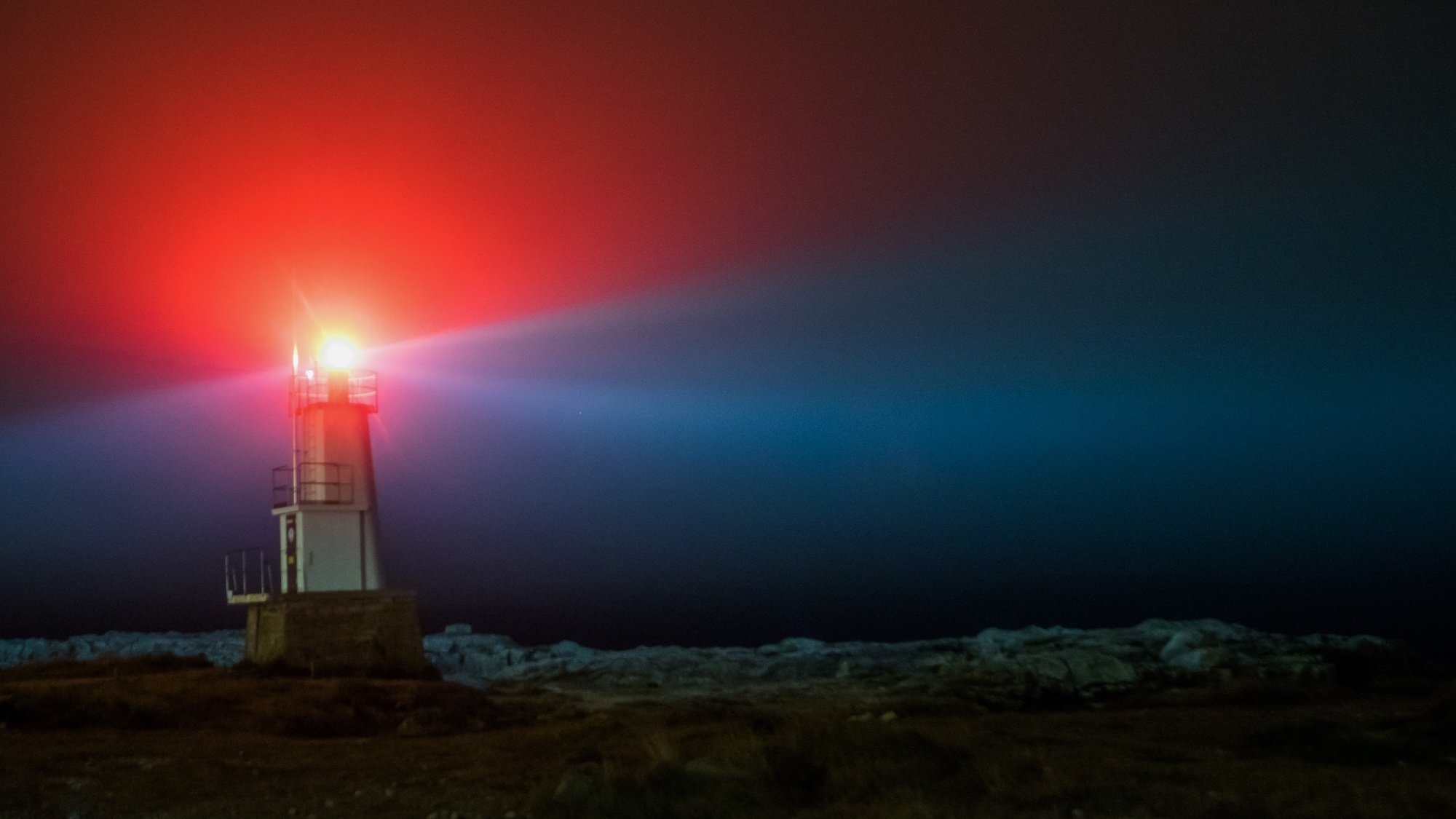
While the earliest lighthouses were little more than large bonfires on hilltops, their underlying principle has always been the same for thousands of years. These towering coastal sentinels have helped sailors from around the world navigate vast oceans, avoid dangerous shoals, and sometimes simply find their way home. However, it’s sometimes difficult to comprehend just how crucial the buildings remain for maritime crews—but one fascinating (and frequently hypnotic) online mapping project vividly illustrates humanity’s ongoing reliance on lighthouses.
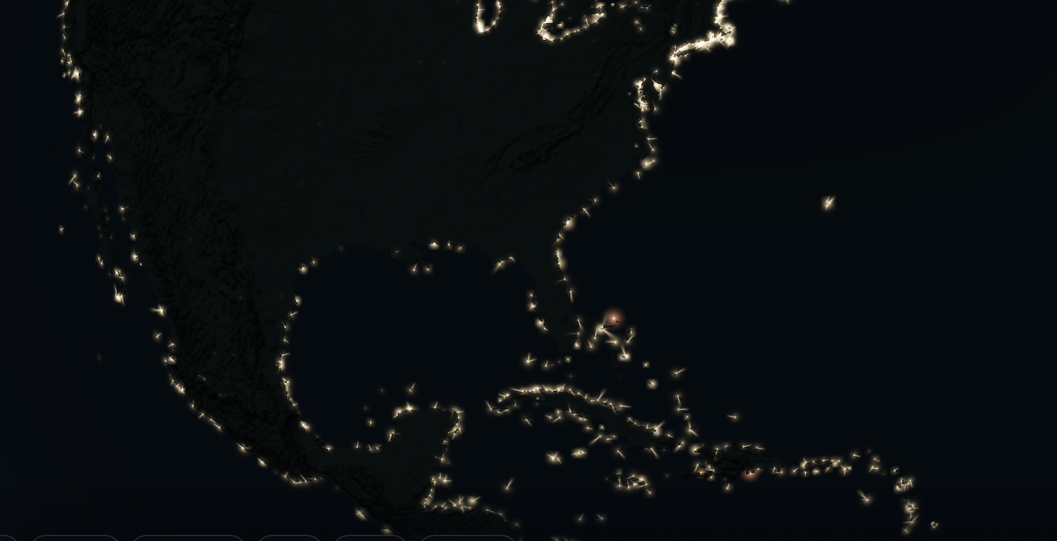
Mapped.earth is an all-things-geospatial website from digital analyst Aaron Becker monitoring winds, rainfall, UV index, and more. It also includes a Lighthouses of the World section showcasing nearly 76,000 glowing outposts found across the planet’s coastlines, islands, and offshore installations. Created with various open-source data collections from organizations like the National Oceanographic and Atmospheric Administration (NOAA) and the National Geospatial-Intelligence Agency (NGA), Becker’s tool easily lets anyone scan lighthouses at their leisure, or focus on one of 29 specific coastal regions around the world.
The project also includes detailed lighthouse data including the beacon’s height, the light bulb’s color, its visibility distance, building height, and even the speed at which its inner light rotates. For example, the red beam shining from Michigan’s nearly 70-foot-tall Muskegon South Breakwater Lighthouse can be seen for eight nautical miles (about 8.2 standard miles) in Lake Michigan. But unlike many other lighthouses, Muskegon’s optical output doesn’t spin. Instead, the light flashes at six-second intervals.
The locations aren’t simply marked by a dot on the globe, either. Becker marks each lighthouse on his map with a color-accurate light animation that rotates or glows in time with its actual intervals. Speaking of time—be careful. It’s easy to lose yourself while surveying the iconic coastal staples.
KioskNews shows a cleaned-up reading view extracted from the publisher’s page — the original always lives on their site, not ours.