Pagasa: LPA east of Northern Samar to bring rains on Saturday
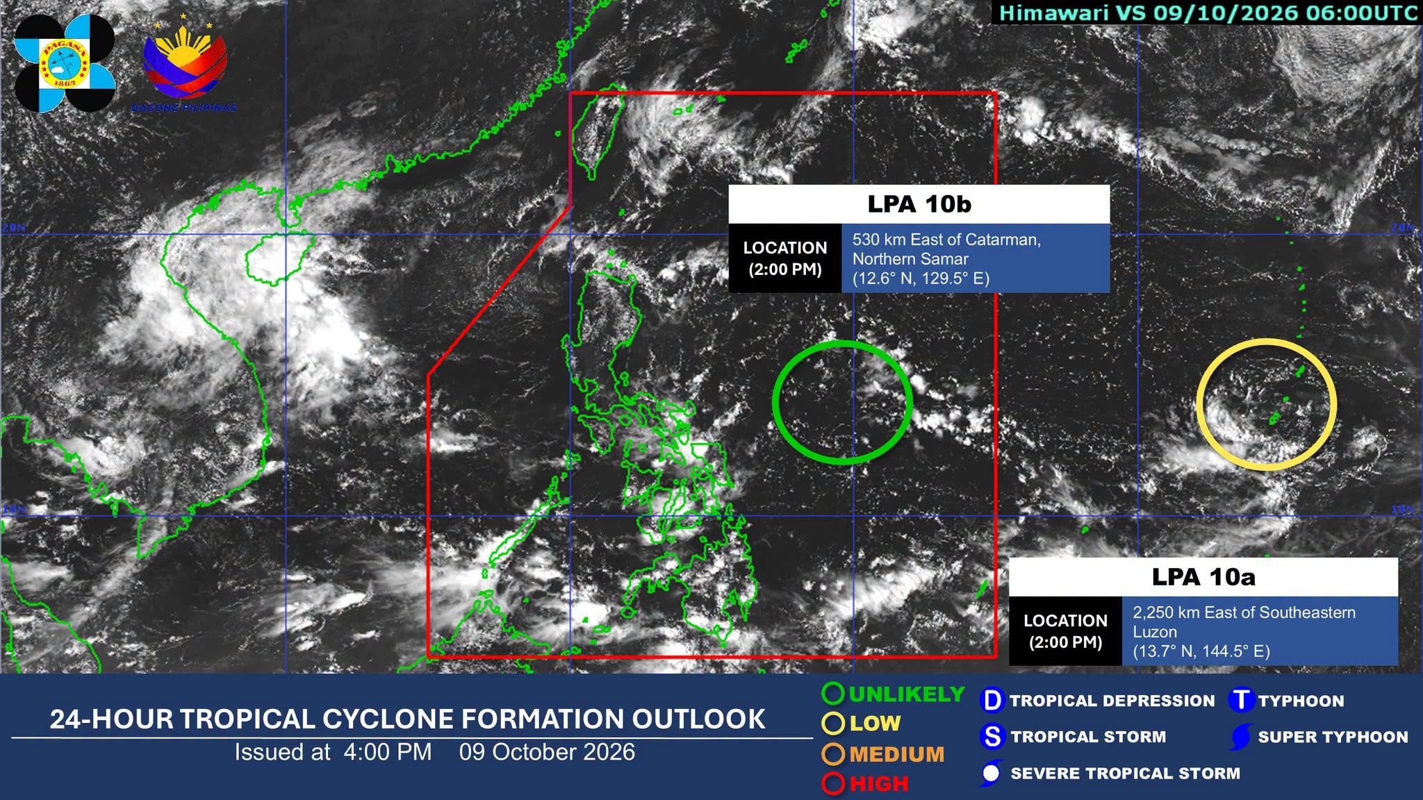

MANILA, Philippines — The state weather bureau on Friday said the low-pressure area (LPA) off Northern Samar will affect some areas in the country until Saturday, Oct. 10.
In its 4 p.m. weather advisory, the Philippine Atmospheric, Geophysical and Astronomical Services Administration (Pagasa) said that Bicol Region, Eastern Visayas, Quezon, Marinduque, and Romblon may experience cloudy skies with scattered rains and thunderstorms due to the LPA.
As of 3 p.m., the weather disturbance was located 520 kilometers (km) east of Catarman, Northern Samar inside the Philippine area of responsibility (PAR).
Article continues after this advertisement
READ: LPA forms outside PAR, unlikely to develop into cyclone — Pagasa
FEATURED STORIES
NEWSINFO
NEWSINFO
NEWSINFO
It remains to have a low chance of developing into a tropical depression (TD) within the next 24 hours, Pagasa noted.
“It (LPA) is embedded along the intertropical convergence zone (ITCZ), affecting Visayas, Mindanao, and Palawan,” it said.
The weather bureau also reported that another LPA was spotted 2,250 km east of Southeastern Luzon outside the PAR. It is unlikely to enhance into a TD within the next 24 hours, it added.
Meanwhile, the ITCZ, or the convergence of winds from the northern and southern hemispheres, may bring cloudy skies with scattered rains and thunderstorms over Mindanao, the rest of Visayas, and Palawan.
Article continues after this advertisement
Cloudy skies with light rains may also prevail over Cagayan Valley, Apayao, and Aurora due to the northeasterly wind flow.
Metro Manila and the rest of Luzon will continue to experience partly cloudy to cloudy skies with localized thunderstorms until Saturday, it reported. /jpv
KioskNews shows a cleaned-up reading view extracted from the publisher’s page — the original always lives on their site, not ours.