'Dixie' Map That Divided US Into North, South Sold For Nearly $1 Million
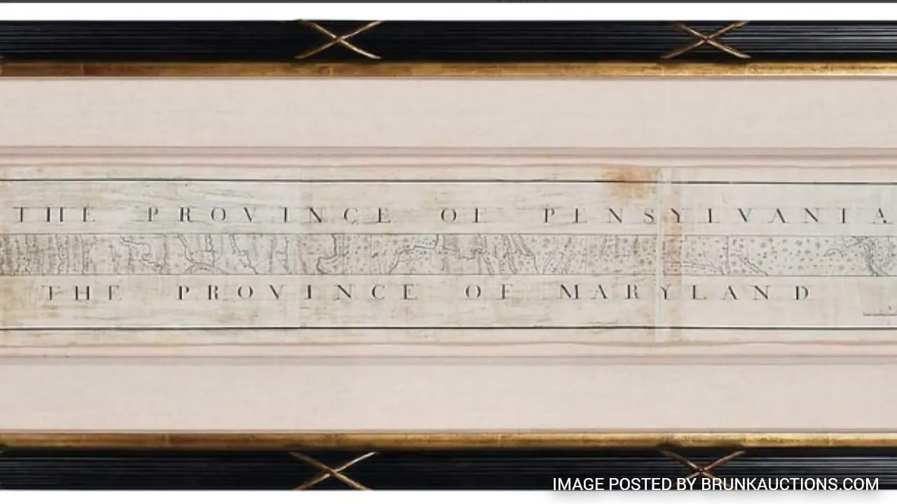
The hand-drawn map showing the Mason-Dixon Line that eventually divided free from slave states in the US sold Thursday for $950,000.
Forty-five bidders battled for just under three minutes for ownership of what is perhaps the most consequential map in American history.
Bidding started at $400,000 for the survey of states divided by the Mason-Dixon Line, finished in 1768 by Charles Mason and Jeremiah Dixon. The sale was held online and in person at Brunk Auctions in Asheville, North Carolina.
While it didn't fetch the hoped-for $1.2 million high estimate, auction house Vice President Lauren Brunk said she was pleased.
"It's a very high price for a map," she said.
Brunk said the buyer asked to remain anonymous, at least for the time being.
The survey was originally commissioned to settle a border dispute between what were then the colonies of Maryland and Pennsylvania. It was used in the 1820 Missouri Compromise to establish the limits of human bondage in the still adolescent United States and became synonymous with the fundamental divisions that exploded into the Civil War four decades later.
The late publisher Malcolm Forbes bought the map in 1982 for $360,000, beating out the Library of Congress. The document was resold in 2002 for $556,000.
Brunk said the Library of Congress was not among Thursday's bidders.
"I would like to say I'm thrilled that this is going to a good home and we are so happy to have had it in our presence for these last months," Brunk said. "It also feels like a privilege to have been entrusted to steward this from one owner to the next."
A vertical section of the map showing the Delaware-Maryland border is housed at Princeton University.
(Except for the headline, this story has not been edited by NDTV staff and is published from a syndicated feed.)
KioskNews shows a cleaned-up reading view extracted from the publisher’s page — the original always lives on their site, not ours.