Heavy rain and gales to batter UK as Met Office issue yellow weather warning
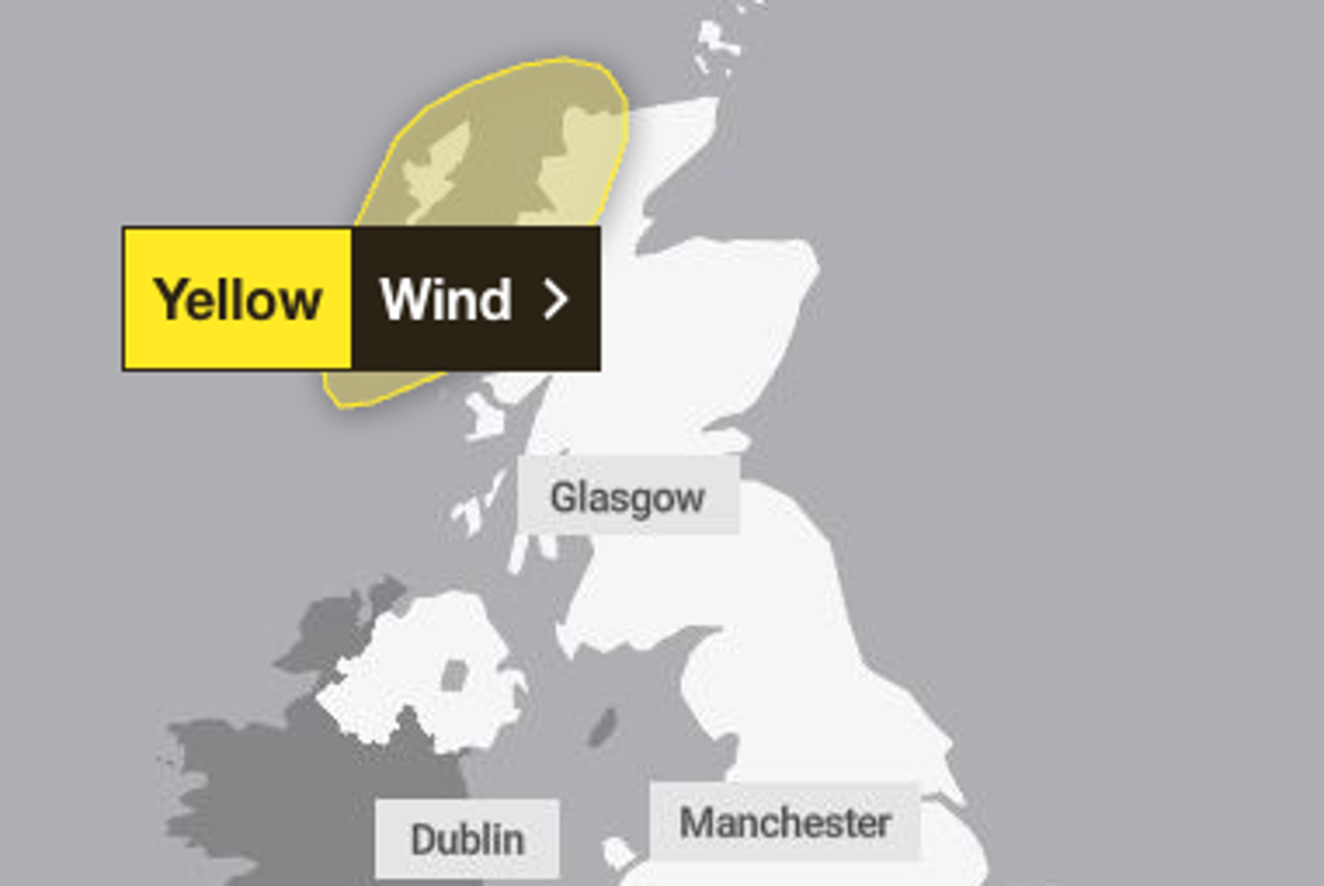
A yellow weather warning has been issued by the Met Office as parts of the country are set to face up to 70mph winds on Wednesday.
Parts of the Scottish highlands and Outer Hebrides (Na h-Eileanan Siar) have a yellow warning for wind from 10am to 7pm on Wednesday.
The Met Office has forecast gusts of 50 to 60 mph, with some exposed coastal and hilly locations expected to see gusts of around 70 mph late morning and into the early afternoon.
The BBC reports that the remnants of Hurricane Isaias in the US has been integrated into a powerful jet stream over the Atlantic, causing gales and a new area of low pressure.
The region could be hit with strong winds that are likely to cause road, air and ferry transport delays. There could also be delays for high-sided vehicles on exposed routes and bridges.
Some short-term loss of power and other services is possible, forecasters warned.
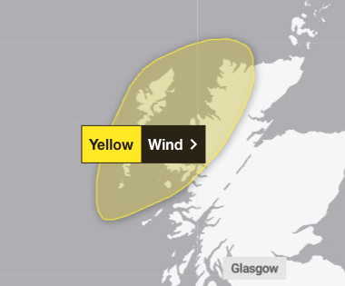
Sailings on a number of Calmac ferry routes have been cancelled or disrupted on Wednesday as a result of the weather, with some disruption continuing into Thursday.
Scotrail said heavy rainfall also means speed restrictions are expected to be in place on the West Highland Line between Fort William and Mallaig throughout Wednesday and until Thursday at 10am.
The Met Office has urged people in the region to avoid delays by checking road conditions if driving, or bus and train timetables, amending travel plans if necessary.
The forecaster also advised people to be prepared for a power cut by gathering torches, batteries and a mobile phone power pack.
The windy weather is predicted to ease over Wednesday afternoon and into the evening with heavy rain forecast to move into northwest Scotland later in the day.
The rest of the UK is set to see sunny spells and patchy cloud, while the north of England and coastal areas are set to see winds.
Temperatures will stay mild with highs of 19C in London on Wednesday and 14C in Stornoway in Scotland where the yellow warning is in place.
The warm weather is set to linger on Thursday, with East Anglia expected to reach highs of 22C, with most places 2-4C above the October average.
Chillier and wetter conditions will arrive on Friday, with rain expected across the UK and into the weekend, with temperatures returning to the seasonal norm.
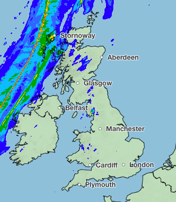
Here’s a look at the forecast over the next five days:
Today:
A band of rain, turning heavy at times, moves across England and Wales today, turning brighter and fresher after the rain clears. A windy afternoon follows with heavy showers moving into the north and a risk of thunder.
Tonight:
Showers ease in the north tonight, with clear spells across the country. Mist and fog patches will develop in the south, and winds strengthen in the north.
Wednesday:
Staying dry for many with warm sunny spells and patchy cloud. Winds strengthening in the north, with coastal gales developing in northern Scotland. Heavy rain moves into northwest Scotland later.
Outlook for Thursday to Saturday:
Winds fall lighter as a band of rain slowly moves south across the country. Cooler air moves in by Friday, with largely dry and bright weather for the weekend.
KioskNews shows a cleaned-up reading view extracted from the publisher’s page — the original always lives on their site, not ours.